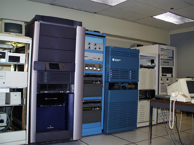
The AIRSAR Integrated Processor (AIP) runs on two SGI
computers with several HPs used as QA stations. AIP is capable of delivering
an average of 50 10 km x10 km POLSAR and TOPSAR data per week. The
AIP processes all the data channels collected in each AIRSAR modes and
all frequencies are co-registered in the final products. Data collected
in the polarimetric mode (POLSAR) are processed to slant-range projected
data. When one frequency is a Digital Elevation Model (DEM), all
data channel are projected onto and corrected for the DEM.
The AIP capabilities provide data for
a wide range of application, including archeology studies, biomass and
soil moisture estimation, vegetation and land-use classification, slope
estimation for landslide risk assessment, wetland classification, natural
hazard monitoring and studies, geologic mapping, and glacier studies.